How accurate is the Tersus MVP S1?
Sub-1 cm relative accuracy, through multi-constellation, multi-frequency RTK GNSS positioning combined with LiDAR SLAM technology, with no need for an external antenna.

A portable mobile mapping system that combines 360° LiDAR scanning, integrated RTK GNSS positioning and panoramic imagery in a single 982 g device.
The Tersus MVP S1 is a portable mobile mapping system that combines 360° LiDAR scanning, integrated RTK GNSS positioning and panoramic imagery in a single 982 g device. The operator simply walks the site, with no additional equipment and no complicated setup.
The result is a high-accuracy colorized point cloud obtained from a single pass on site – useful both for quick surveys and for complete technical documentation.
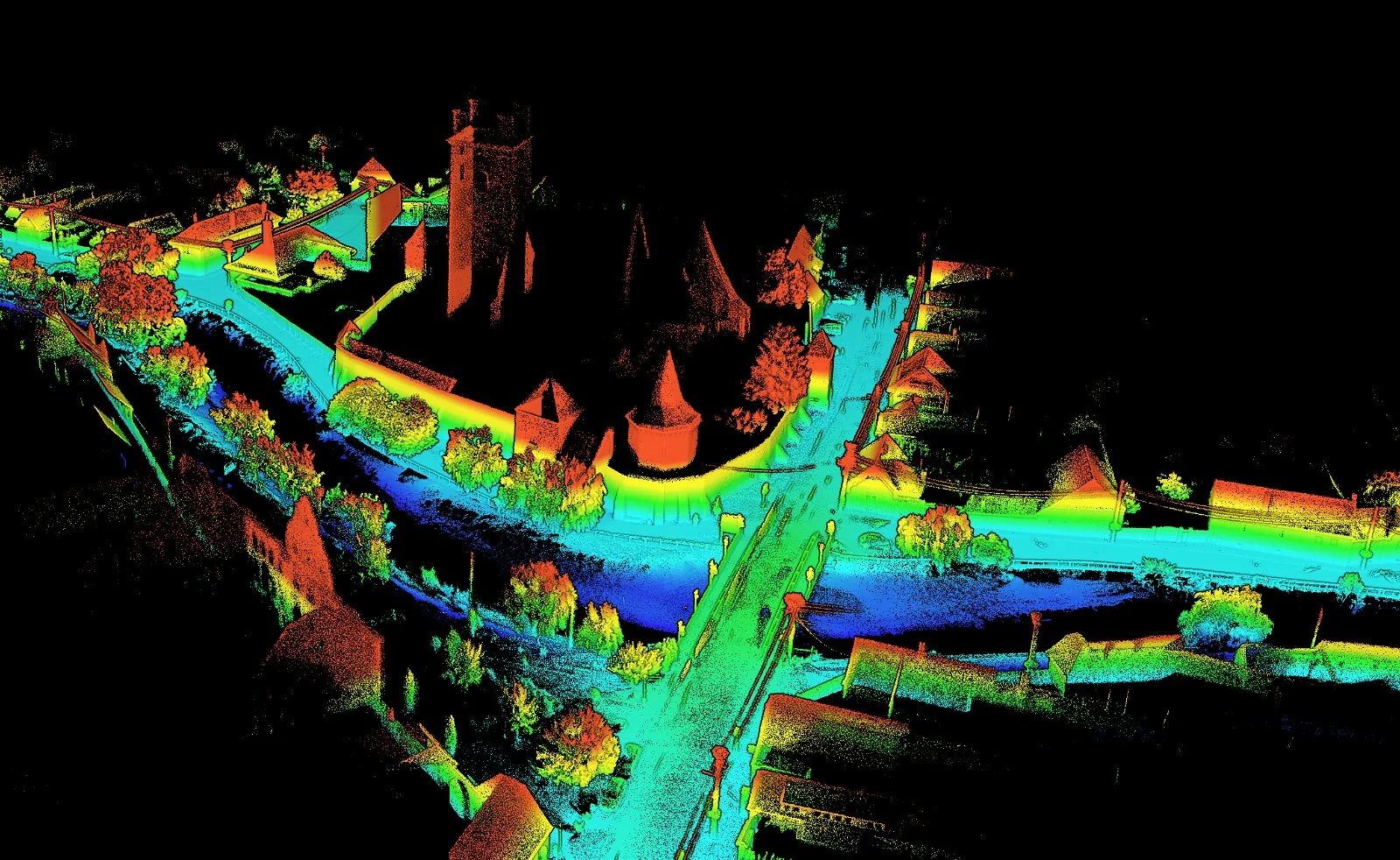
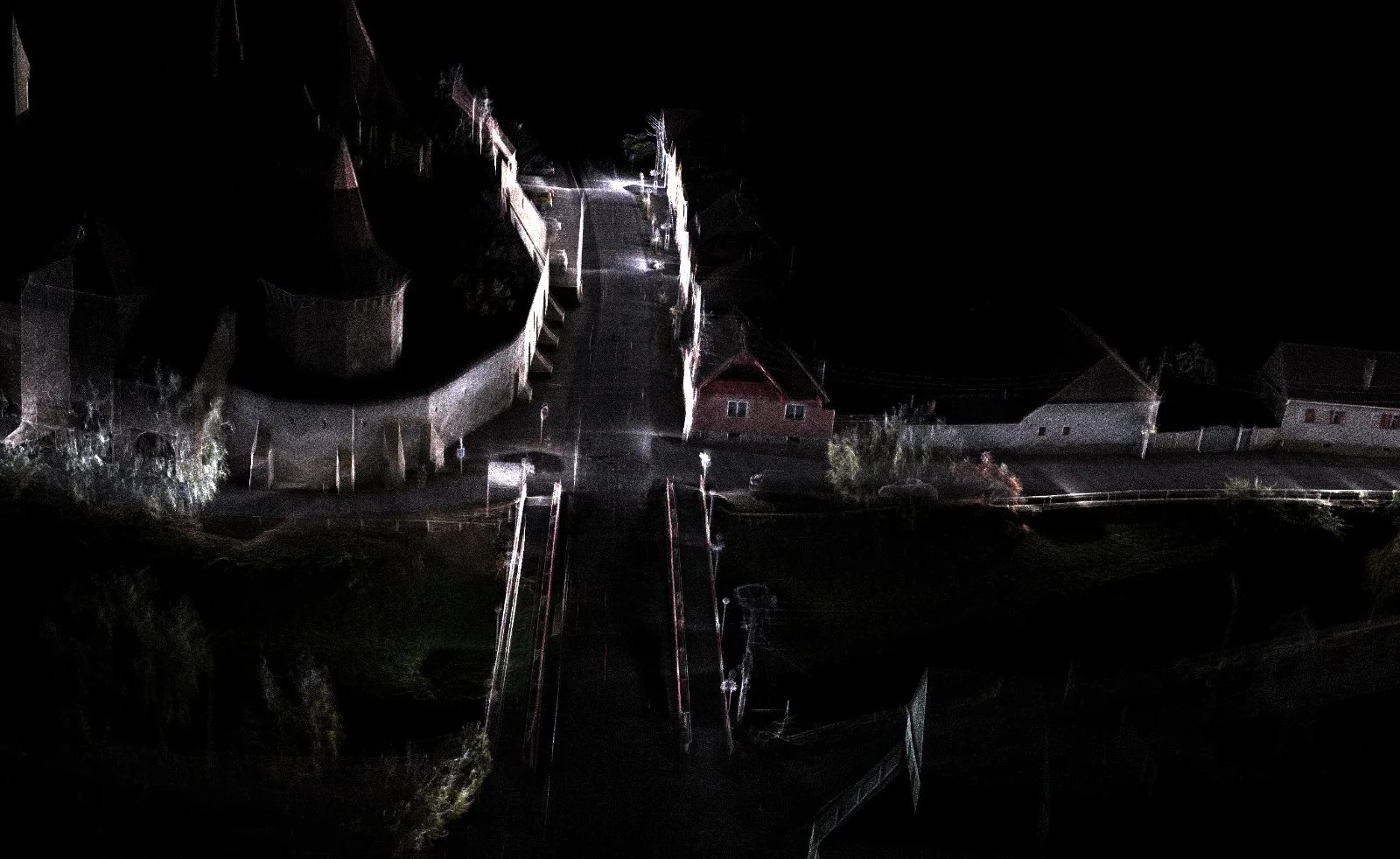
Data collected on site is processed in MVPStudio, on Windows: colorized point clouds, verification against control points, coordinate conversions, CAD and GIS extraction, floor plans, profiles, volume calculations and reports ready for handover to the client.
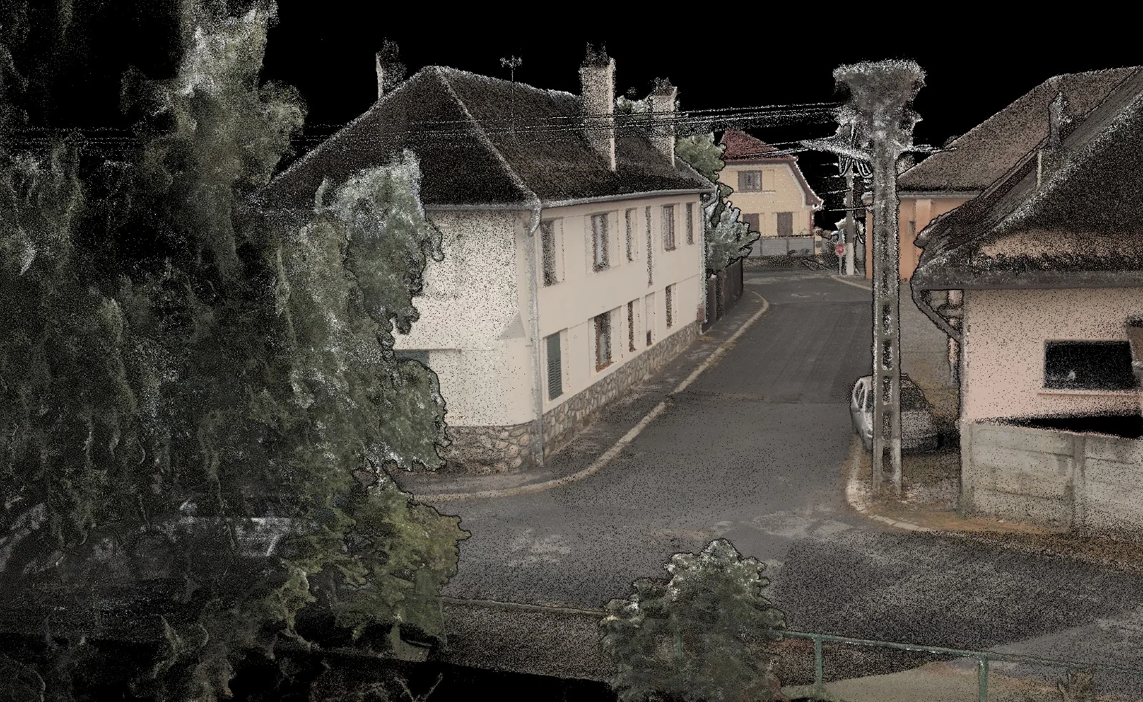
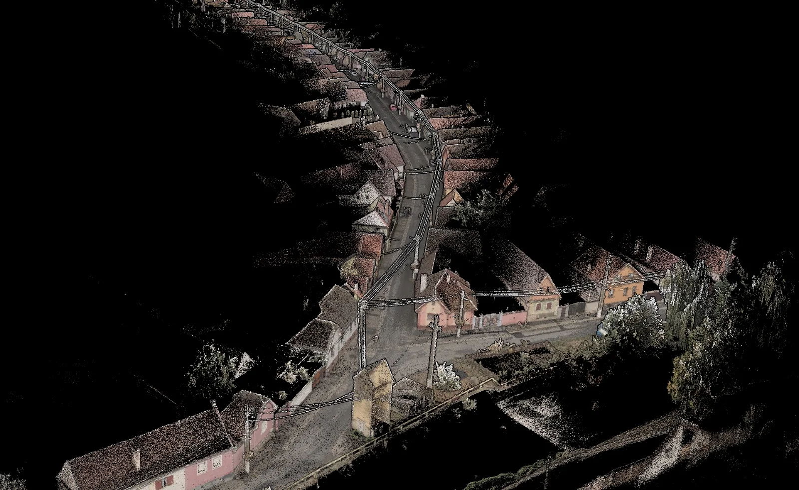
Sub-1 cm relative accuracy, through multi-constellation, multi-frequency RTK GNSS positioning combined with LiDAR SLAM technology, with no need for an external antenna.
Yes. LiDAR SLAM maintains scan continuity indoors, in tunnels and in areas without GNSS signal, and the outdoor-indoor transition happens without interruption to the point cloud.
Colorized point clouds, CAD and GIS plans, floor plans, profiles, volume calculations, panoramas and 3D models, processed in MVPStudio, plus a technical report ready for handover.
Would you like a scan or a demo?
Send us a few details about the site and the deliverables you need, and we will propose the right mobile 3D scanning solution, using the Tersus MVP S1.