πŸ“ž +40 357 804 071 βœ‰οΈ office@dromcons.ro πŸ“ 44 Vasile Milea Street, Arad
Mon-Fri 9:00–17:00

Professional Topographic Surveys

Topographic surveys, cadastre and precise setting-out services carried out with modern equipment for construction and infrastructure projects.

Topographic Surveys for Safe and Well-Documented Projects

Topographic surveys are essential for any construction project, urban development or land registration process. The Dromcons team performs topographic surveys and cadastral works using modern equipment such as GPS RTK, total stations, drones and LiDAR, combined with a rigorous methodology adapted to each type of terrain.

We provide complete support, from field measurements to data processing, plan preparation and the documentation required for permits and land registry registration.

What Our Topographic Survey Services Include

Cadastre and Land Registration Services

We handle the full cadastral workflow so that properties are correctly registered and kept up to date in the official records.

  • Land registration – registration of ownership rights in the land book.
  • Property boundary staking – accurate marking of land boundaries in the field based on the documentation.
  • Parcel mergers and subdivisions – reorganization of plots for real estate developments or new investments.
  • Property data updates – correction and completion of existing cadastral information.
  • Boundary and point-of-interest identification – clarification of overlap situations or discrepancies.
Dromcons surveyor carrying out cadastral measurements in the field

Topographic Surveys for Construction and Infrastructure

We provide all the topographic data required for the correct design and execution of construction works.

  • Site plan for building permits – plans reflecting site conditions and existing constructions.
  • Construction setting-out – field positioning of buildings, road axes and infrastructure elements.
  • Volume calculations – determination of cut and fill volumes for earthworks.
  • Orthophotoplans – corrected aerial images useful for urban and infrastructure analysis.
  • Topographic surveys for PUG, PUZ and PUD – topographic support for urban planning documentation.
Dromcons team processing topographic data for construction projects

Modern Technology: GPS RTK, Drones and LiDAR Measurements

For complex projects, we use state-of-the-art equipment that allows us to obtain accurate data quickly and integrate it easily into the design process.

  • Measurements with GPS RTK and robotic total stations.
  • 3D scanning and digital terrain models such as DTM and DSM.
  • LiDAR measurements for large or hard-to-access areas.
  • Integration of data in CAD/BIM formats and delivery of digital files for designers.
Modern topographic equipment used by Dromcons for LiDAR measurements

Project Stages

  1. Initial discussion – we understand the project purpose, the area to be surveyed and the required deadline.
  2. Fieldwork planning – we select the appropriate equipment and establish the intervention schedule.
  3. Field topographic measurements – we carry out the surveys, setting-out works and necessary checks.
  4. Data processing and verification – we generate digital models, plans and measurement reports.
  5. Preparation of documentation – we prepare the requested technical or cadastral plans and documents.
  6. Delivery and follow-up support – we deliver the documentation in physical and digital format and provide clarifications when needed.

Frequently Asked Questions

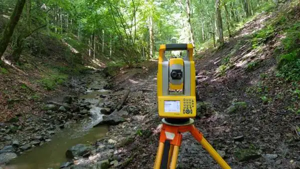
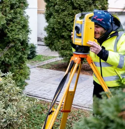
When do I need topographic surveys?

Topographic surveys are needed before the design of a construction project, for obtaining a building permit, for field setting-out of buildings or roads, and for land registration, subdivision or merger of properties.

What documents should I prepare?

In general, the following are useful: ownership documents such as sale contracts, title deeds or inheritance certificates, land book extract and any older plans. If needed, we can help you clarify exactly which documents are required for your type of work.

Do you only work in Arad or also in other counties?

Our base is in Arad, but we can also take on topographic survey projects in neighbouring counties or other parts of the country, depending on the project scale and the available schedule.

Do you need topographic surveys?

Let’s Discuss the Right Survey Solution for Your Project

Send us the site coordinates and a few details about your project, and our team will recommend the appropriate type of survey and the next steps.

Request a Quote